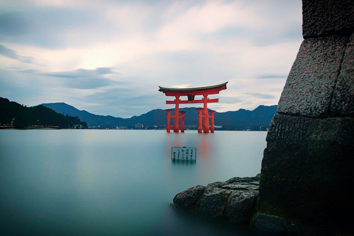
Nature— all
The Michinoku Coastal Trail: Hiking Japan's Pacific Edge
June 14, 2026
The Michinoku Coastal Trail runs more than 1,000 kilometers down Tohoku's Pacific edge, linking fishing villages, sea cliffs, and recovering communities into one of Japan's most quietly ambitious long-distance walks.
It begins in Hachinohe and ends in Soma, and almost no one walks the whole thing at once. The Michinoku Coastal Trail stretches more than 1,000 kilometers along the Pacific shore of northern Japan, threading together four prefectures, dozens of fishing towns, and a coastline that has been both beautiful and brutal within living memory. It is not a wilderness route in the American sense. It is something more particular: a walking line drawn through working communities, along a coast that was remade by the sea in 2011 and is still finding its shape.
The trail follows the Sanriku coast, the long indented seaboard where the mountains of Iwate and Aomori meet the ocean in cliffs, coves, and river mouths. Walkers move past lighthouses and seawalls, through pine groves and over headlands, with the open Pacific almost always to the east. The route was conceived after the Great East Japan Earthquake and tsunami, and that origin gives it a character no older trail in Japan shares.
What follows is an account of where the Michinoku Coastal Trail goes, how it came to exist, and how travelers actually walk it section by section rather than end to end.
A Trail Born From Recovery
The Michinoku Coastal Trail was championed by Japan's Ministry of the Environment in the years after March 2011, when the earthquake and tsunami struck the Sanriku coast and killed thousands across Tohoku. The idea was unusual for a national project. Rather than build a monument, the ministry proposed a continuous walking route that would connect the affected communities to one another and invite outsiders to come through on foot, slowly, paying attention.
Connecting communities along the coast
Construction proceeded in stages over several years, with the full route opening incrementally and reaching its complete length in 2019. The trail links existing footpaths, coastal roads, forest tracks, and newly built sections into a single waymarked line from Aomori to Fukushima. Part of the intent was practical: foot traffic brings small spending to inns, shops, and seafood restaurants in towns that lost much of their economy to the water. Part was less tangible. Walking the coast means meeting the people who live there, and that contact was understood as a form of recovery in itself. The route also draws on an older idea, the long-distance nature trails Japan has maintained for decades, but turns it toward a stretch of country that had rarely been treated as a destination for walkers at all. The Sanriku coast was working seaboard long before it was a trail, and it remains so.
Witnessing resilience without spectacle
The route does not turn disaster into a theme. Walkers pass reconstructed seawalls, raised roads, memorial markers, and signs indicating tsunami evacuation routes and the height the water reached. These appear matter-of-factly, alongside the ordinary business of fishing villages. The effect is cumulative rather than dramatic. Over a day's walk a traveler reads the coast as a place that was changed and is carrying on, and the trail asks for attention rather than grief. That restraint is, in the end, more affecting than any staged solemnity would be.
The Sanriku Coast and Its Geopark
Much of the trail's northern and central length runs through the Sanriku Geopark, a recognized geological landscape that stretches across the coasts of Aomori, Iwate, and Miyagi. The Sanriku coast divides roughly in two. To the north, hard rock has been cut by the sea into tall cliffs and steep headlands. To the south lies a ria coastline, where drowned river valleys form deep, sheltered bays. Both halves are walkable, and the contrast is one of the trail's pleasures.
Kitayamazaki and the northern cliffs
The cliffs at Kitayamazaki, in northern Iwate, are among the most striking features on the entire Tohoku Pacific coast. The rock walls rise sharply above the water for several kilometers, and the trail traces the clifftop with viewpoints that look down to sea stacks and surf far below. The walking here is genuine coastal hiking, with stairs, ascents, and exposed sections. The nearby Tanohata area offers similar terrain, and the Kitayamazaki to Tanohata stretch is one of the most recommended single sections for walkers who want the trail's dramatic side in a manageable distance.
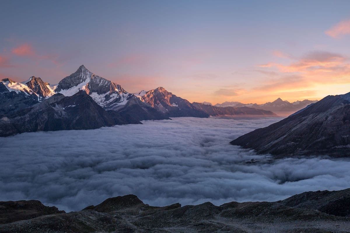
Nature
Hiking in Tohoku: Five Trails That Belong on Every Serious Walker's List
Tohoku's mountains are among Japan's finest and least crowded. Here are five trails that reward the effort, from sacred pilgrimage routes to volcanic crater rims.
Jodogahama and the clear water near Miyako
Further south, near the city of Miyako, the coast softens at Jodogahama, where pale rocks and pine stand against unusually clear water. The contrast with Kitayamazaki is immediate: instead of vertigo there is a sheltered cove and a beach of white stones, with short paths and viewpoints that make the area approachable for almost anyone. Miyako is a useful hub for walkers, with rail access and lodging, and the surrounding sections give a sense of how varied the Sanriku coast can be over a relatively short distance. Within a single day it is possible to move from a quiet inlet to an exposed headland and back to a working harbor, which is one reason the trail rewards walkers who slow down rather than push for distance.
The Human Coast
The Michinoku Coastal Trail is, more than most long-distance routes, a social walk. It passes through inhabited places almost continuously, and the texture of those places is much of what the trail offers. The route is rarely far from a house, a harbor, or a vending machine, and that proximity changes the nature of the walking.
Fishing villages and the food they bring up
The Sanriku coast is one of Japan's great fishing grounds, where cold and warm currents meet offshore. That richness shows up on the plate. Sea urchin, or uni, is a summer specialty along this coast. Scallops, oysters, and wakame seaweed are farmed in the sheltered bays, and walkers who time a section around a working harbor can eat extremely well in modest restaurants. Buying lunch in a small coastal town is part of the point: the spending stays local, and the meal is usually better than anything found inland. Markets and roadside stalls often sell whatever came in that morning, and the calendar of what is available changes with the season as much as with the place.
Markers, seawalls, and the people who stayed
Walkers should expect the built evidence of 2011 to be constant company. New concrete seawalls run along many stretches, sometimes high enough to block the view of the sea they guard against. Evacuation route signs point uphill from low ground. Stone markers note where earlier tsunami reached in past centuries, a reminder that this coast has a long memory of the ocean. Meeting residents who chose to rebuild, and hearing how they talk about the place, tends to leave a stronger impression than any single viewpoint. The trail does not editorialize about any of it; it simply runs through, and lets the walker draw conclusions.
How People Actually Walk It
The honest description is that the Michinoku Coastal Trail is section-hiked, not thru-hiked, by nearly everyone who walks it. A continuous end-to-end journey would take well over a month, and the trail is not designed around that. It is designed around towns, transport, and days of walking that begin and end somewhere with a bed and a meal.
Choosing a section
The most practical approach is to pick a stretch that matches both interest and fitness. The Kitayamazaki to Tanohata section in northern Iwate suits walkers who want cliffs and effort. The area around Miyako and Jodogahama offers gentler, scenic days with easy access. Sections further south in Miyagi pass through the ria bays and reconstructed towns, with a stronger emphasis on the human coast. Most walkers string together two to five days in one area rather than attempting a long continuous push, and many treat the trail as a reason to explore the Iwate and Miyagi coasts that few foreign visitors reach.
Waymarking, maps, and access
The trail is well waymarked, with consistent signage and markers along the route, and the Ministry of the Environment publishes official maps and section guides that walkers should obtain before setting out. Accommodation is found in towns rather than on the trail itself, so planning each day around a settlement is essential. Access is straightforward by Japanese standards. The Sanriku Railway runs along much of the Iwate coast and is the natural way to reach trailheads and return from them, while JR lines and replacement bus services connect other stretches. Pairing a day's walk with a train ride at either end is the standard rhythm of a Michinoku trip, and it makes the route unusually friendly to travelers without a car.
When to go
Late spring through autumn is the best window for hiking the Tohoku Pacific coast. The shoulder seasons are comfortable, summer brings sea urchin and long daylight along with the chance of heat and rain, and autumn offers clear air and quieter towns. Winter is cold and exposed on the coast, with short days and limited services in smaller places, and is not the season for which the trail is best suited. Weather off the Pacific can change quickly in any season, so a flexible plan and proper layers matter more here than the gentle profile of much of the route might suggest.
What the Trail Represents
A long-distance trail in Japan is rare enough on its own; the country has pilgrimage routes and mountain traverses, but few continuous coastal walks on this scale. The Michinoku Coastal Trail is unusual in another way. It was made deliberately, in response to loss, as an argument that the best thing outsiders can do for a damaged place is to come, walk through it slowly, eat its food, and leave having paid attention. To walk a section is to take part in that argument. The Pacific horizon is the constant, and the towns along its edge supply the meaning.
Frequently Asked Questions
How long is the Michinoku Coastal Trail and can you walk it all?
The trail runs more than 1,000 kilometers from Hachinohe in Aomori to Soma in Fukushima, passing through Iwate and Miyagi along the way. Walking the entire length in one journey would take well over a month, and very few people do. The route is designed to be section-hiked, with most walkers covering a few days in one area before moving on.
Which section of the Michinoku Coastal Trail is best for a first visit?
The Kitayamazaki to Tanohata stretch in northern Iwate is a common recommendation for the dramatic side of the trail, with tall sea cliffs and clifftop walking. For a gentler introduction with easy access and clear water, the area around Miyako and Jodogahama is a strong choice. Both can be reached using the Sanriku Railway.
When is the best time to hike the Sanriku coast?
Late spring through autumn offers the most comfortable and reliable conditions. Summer brings long days and seafood such as sea urchin but can be hot and wet, while autumn is clear and quiet. Winter is cold, exposed, and poorly suited to coastal hiking, with shorter days and reduced services in smaller towns.
How do you get to the trail and where do you stay?
Access is mainly by rail. The Sanriku Railway runs along much of the Iwate coast, and JR lines and connecting bus services reach other stretches, making it easy to start and end a day's walk at a town. Accommodation is found in those towns rather than along the trail, so each walking day should be planned around reaching a settlement with lodging and meals.